Cheslen, is a bucolic 1,200 acre preserve in central Chester County, recently preserved as open space forever by the good work of Natural Lands Trust. I took the photo to the right on Saturday as I walked along some of the nearly 12 miles of trails in the preserve to my ultimate destination -- a pegmatite dike near the Brandywine Creek.
The rifting of supercontinent Pangea 200-175 million years ago (shown in the animation below) due to a net force on the lithosphere by convection of asthenosphe rock produced tension in the Earth's crust in this region which created slivers of weakness miles under the surface, perpendicular to the movement of the plates along the divergent boundary (now the mid-Atlantic ridge bisecting the Atlantic Ocean.) Magma, perhaps of mantle origin, welled up into these locales of weakness and eventually cooled into bands of igneous rock called dikes, still very deep underground. Subsequent uplift of the land, and subsequent weathering and erosion of overlying rock has exposed the igneous rock dikes at the surface. These dikes are quite interesting and uncommon surface geologic features, but there are several in our region as described below.
In the trail map below, note how the railroad tracks cut across the property from the W-SW to the E-NE and then begin to course along the Brandywine Creek. These tracks cross a band of intrusive igneous rock known as a Pegmatite Dike. This dike was formed miles underground when North America rifted apart from Africa about 200-175 million years ago (as described above.)
Pegmatite Dikes
The dike is shown as a black line near Embreeville in a segment of the Chester County geologic map below far left. The particular type of pegmatite in this locale was well known for its inclusion of soda feldspar and was mined for the ceramics industry where it is used as a vitrifying agent in ceramics. As obvious in the photo second from left that I took on Saturday along this secton of the tracks, the dike is mostly dark gray, fine-grained diabase rock. However, it is called a pegmatite dike because it has numerous veins of pegmatite intruding into the diabase. Pegmatite a very coarse-grained igneous rock that along with diabase is derived from mantle material that upwelled into areas of weakness created by the rifting of North America and Africa some 200-175 million years ago. Notice the pegmatite intruding into diabase in the photo second from right. I placed a small sample of the pegmatite on your desk similar to the photo below far right. Notice the very large crystals of mica and other minerals that are characteristic of pegmatite. You can think of pegmatite as granite with extra large mineral crystals, but the magma that formed pegmatite cooled even more slowly than the magma that formed granite. This means the magma upwelled toward the surface, but was trapped many miles below the surface.
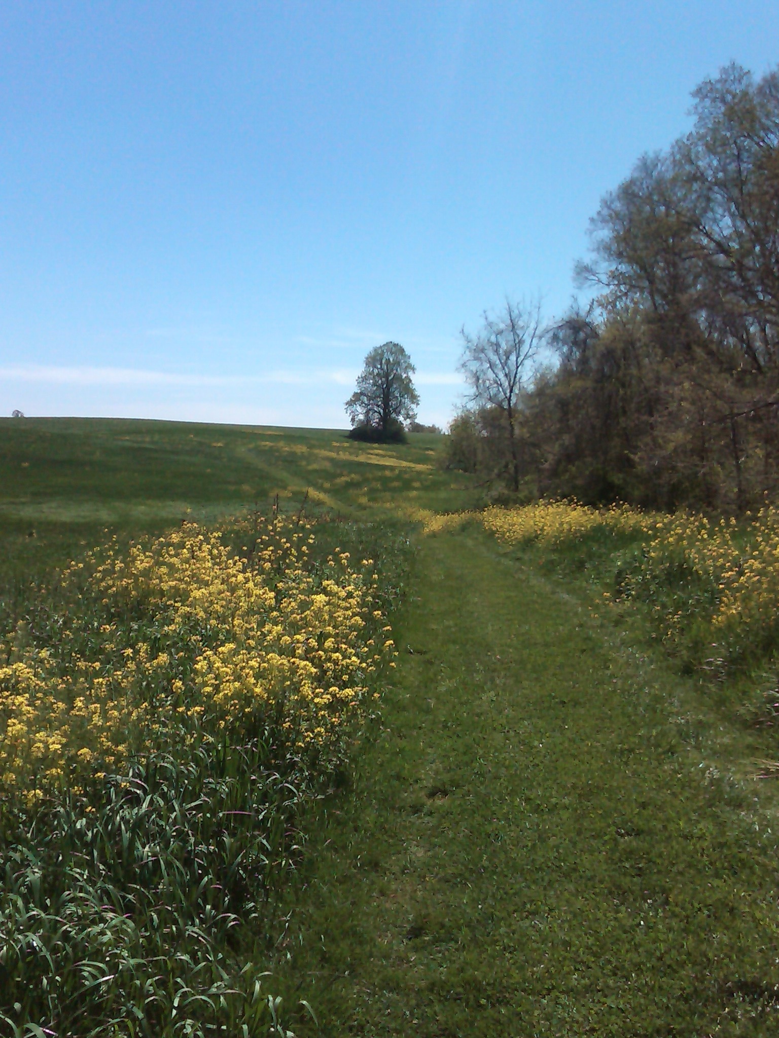 Cheslen, is a bucolic 1,200 acre preserve in central Chester County, recently preserved as open space forever by the good work of Natural Lands Trust. I took the photo to the right on Saturday as I walked along some of the nearly 12 miles of trails in the preserve to my ultimate destination -- a pegmatite dike near the Brandywine Creek.


